Our Services
Aerial Services
This new and exciting platform provides our surveyors a way to safely, accurately and reliably capture data with the latest remote sensors.
Civil Engineering / Planning
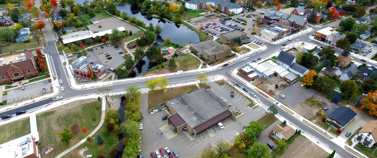
MEGA provides a complete range of services to communities, government agencies, developers and commercial clients.
Land Surveying
Our survey staff utilizes advanced technology such as Global Positioning Systems (GPS), electronic data collectors and our Inspire 1 Drone.
Federal Contracting
MEGA’s federal expertise includes VA Campus’s, Federal and GSA Properties.
Seismic Services
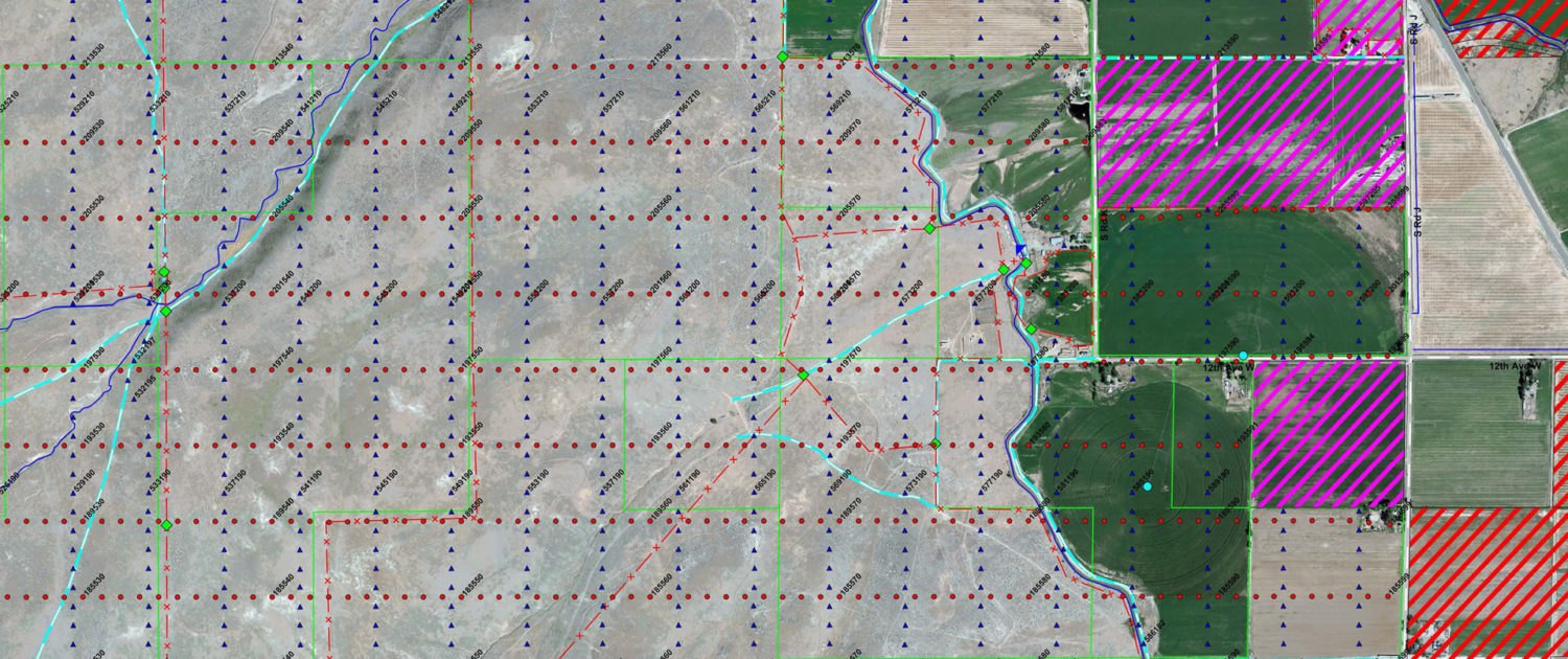
MEGA conducts Seismic Surveying (both 2D and 3D surveys) ranging from 1 mile to 1,000 miles and 1 square to 20 squares respectively.
Additional Services
MEGA provides a wide variety of additional services including Electrical Engineering, Geotechnical Engineering, Landscape Architecture, and Mechanical Engineering.

